
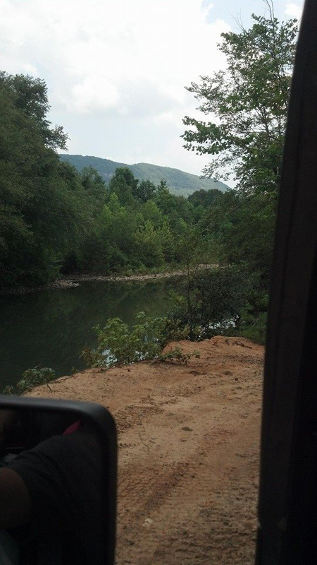
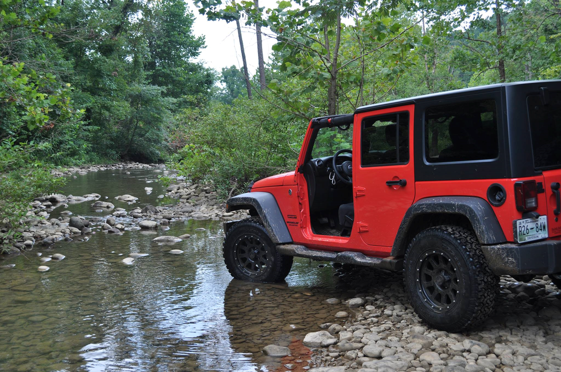
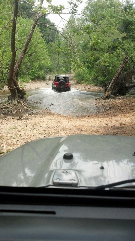
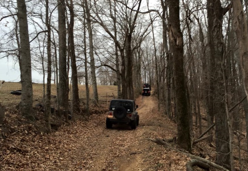
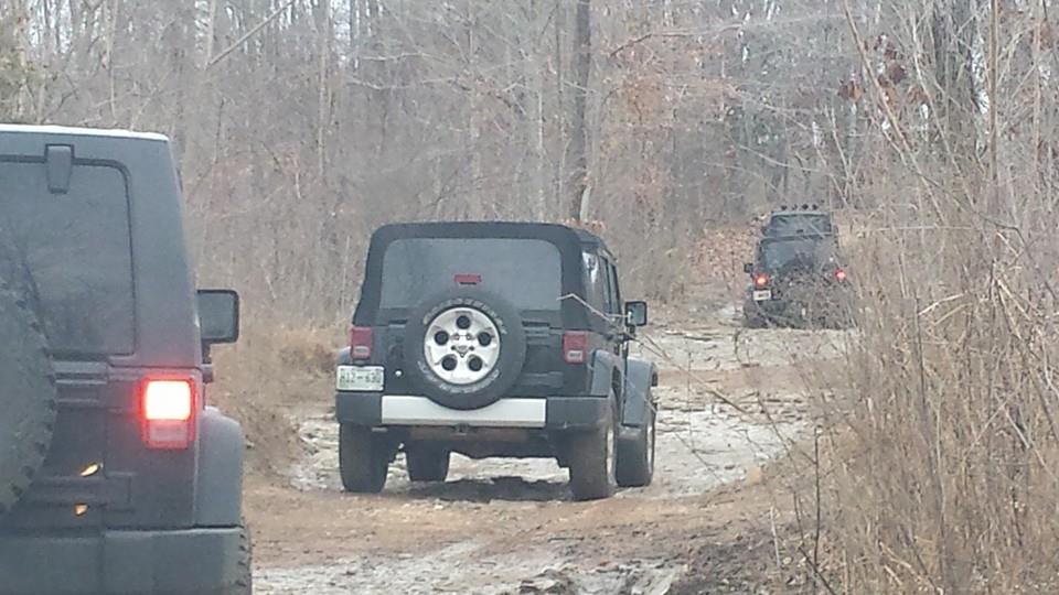
Coppinger Cove - Sequatchie TN
Distance form Murfreesboro - 2 hours
Terrain - wooded trails, rocks, creek crossings. We have done a quarter of these trails, based on our experience a stock Jeep can make it through most trails. There are a few areas where some branches could use being cut back, however we were advised that there is a local Jeep club that comes in every spring and cleans up the trails.
Cost - $0.00
Camping - there is no official camping, but we noticed several spots along the trails where there was evidence of campers / fire rings set up. No cost to camp here. Primitive camping.
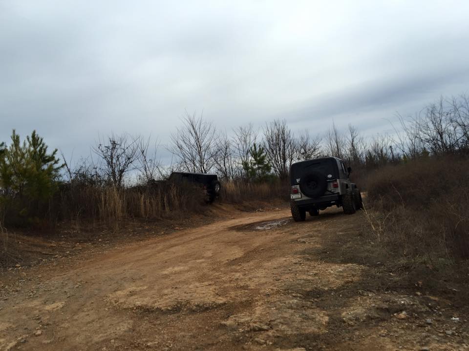
Robinson Ridge - Bradyville TN
Distance from Murfreesboro - 45 minutes by scenic drive.
Terrain - a few trails large enough for a jeep, most trails stock capable. Some branch trimming needed.
Cost - $0
Camping - NA
Direction for scenic route, courtesy of Donald Lester - 1. from Rutherford Blvd travel east on Bradyville Pike toward Bradyville. 2. at 8.5 miles you will see a white fence on your left, look for zebras 3. at 11.5 miles turn right on Howard Youree Rd. 4. follow to the end and turn left 5. travel on Dug Hollow Rd for .5 miles turn right on Tolbert Hollow Rd. 6. at 1.5 mile on the right a large creek comes out of the side of the mountain 7. at 1.5 miles stay left on left on Gilley Hill Rd (will turn to gravel) 8. Gilley Hill is a winding gravel Rd, that goes 3.8 miles to Dickens Hill Rd, turn right. 9. go to the end of Dickens Hill and turn left on Hollow Springs Rd. 10. .75 miles turn left on Burt Burgen Rd 11. 5.8 miles turn right on Conely Rd, go to the end and turn right on Burt Rd 12. 1.2 miles turn left on Peeler Hill Rd (turns into gravel) 13. trail head starts at 2 mile mark.
Sheriffs Jeepfest 2015 - September 4 - 6, 2015 - located Jasper GA
Distance from Murfreesboro - 3 hours
Jeepfest is an annual event that is sponsored and operated by Pickens Sheriff Office, which is a fundraiser for youth homes.
2015 event scheduled, pricing and, lodging options has not been posted yet. Jeepfest 2014 included obstacles, venders, entertainment, and trail rides.
Trans American Trail (TAT) - location cross country
The Trans American Trail originally started in Jelico TN and went to the Pacific Ocean. Additional trails have been added so that it now goes ocean to ocean. The route uses dirt, gravel, forest, and farm roads. (note that alot of the original route which was dirt roads have now been paved. ) Maps are available to purchase on multiple websites.
The Trans American Trail originally started in Jelico TN and went to the Pacific Ocean. Additional trails have been added so that it now goes ocean to ocean. The route uses dirt, gravel, forest, and farm roads. (note that alot of the original route which was dirt roads have now been paved. ) Maps are available to purchase on multiple websites.
